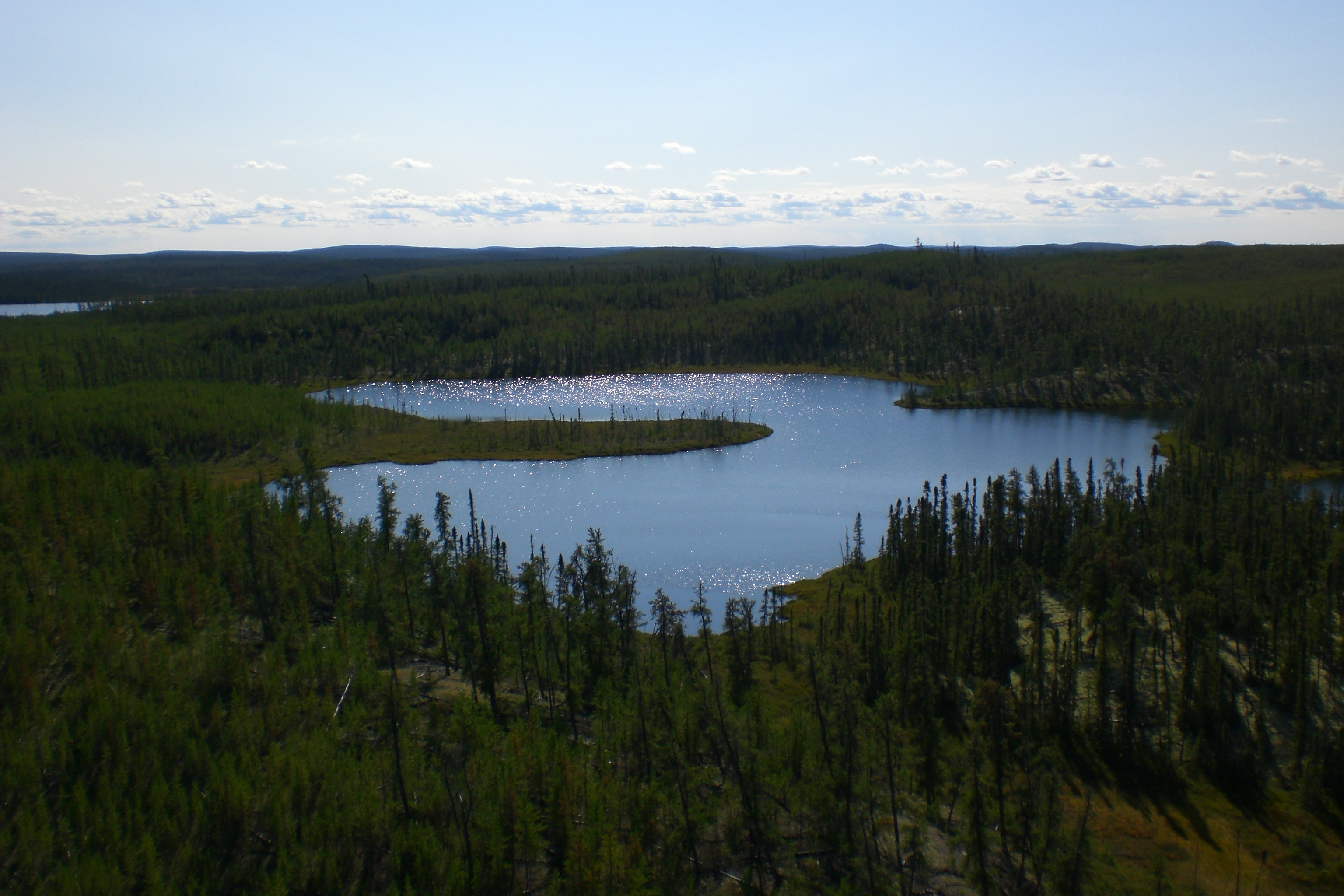
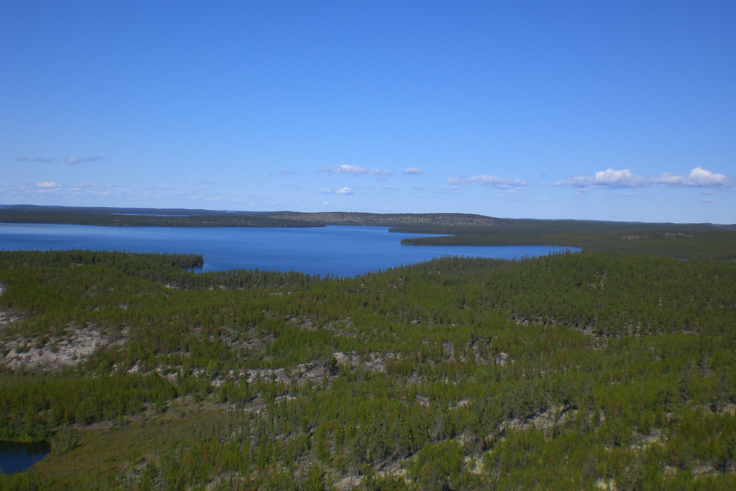
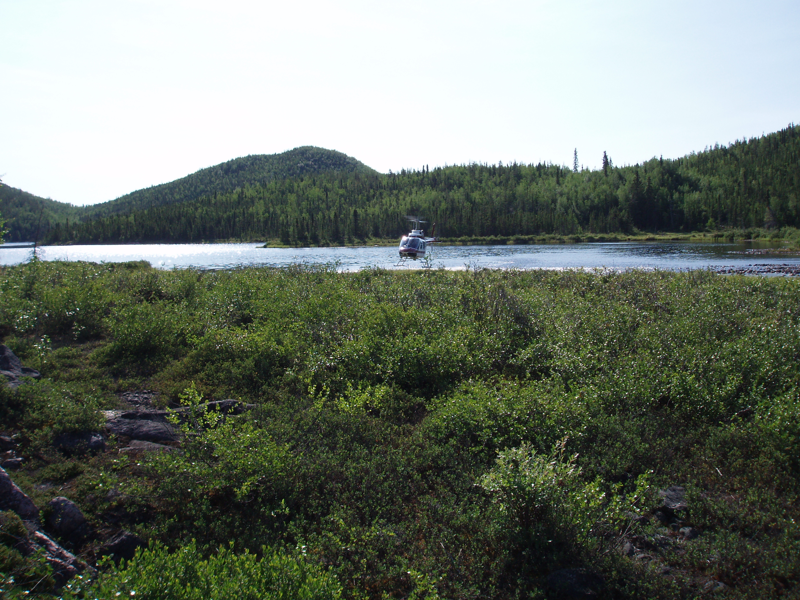
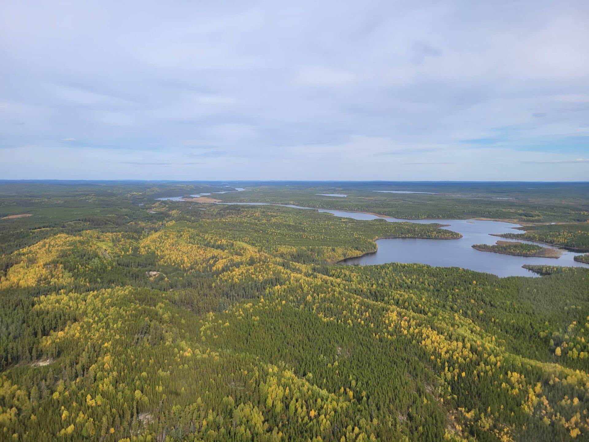
Project Category: Other Uranium Opportunities

Waterbury East

CanAlaska’s Waterbury East property, totaling 1,337 ha is located in the northeastern Athabasca Basin, Saskatchewan, Canada. The project has approximately 200 m of Athabasca sandstone cover overlying the basement rocks of the Wollaston Domain. The claim has been subject to historical regional and project scale ground and airborne geophysical surveys that highlight at 7 km Waterbury East

Thor

The Thor property is located in the eastern Athabasca Basin, Saskatchewan, Canada, approximately 22 km northwest of the McArthur River uranium mine. Historical exploration on the project consists of prospecting and geological mapping that were completed in conjunction with airborne radiometric, electromagnetic, and magnetic surveys. The main features of interest on the property are the Thor

Taggart

Triple R and Arrow uranium deposits along the mineralized Patterson Lake Corridor.  Geophysical and geological compilation work suggest that the basement rocks of the Patterson Lake Corridor, consisting of granitic to tonalitic gneisses, with local bodies of structurally-controlled graphitic and chloritic shear zones, trend into the project area. To the southwest, these structurally-reactivated graphitic intervals Taggart

Chymko

The Chymko property is located in the central Athabasca Basin, Saskatchewan, Canada, approximately 100 km west of the Key Lake mine and mill. A series of historical magnetic and EM surveys define a NW-SE structural pattern, alternating high-low magnetics with EM conductors concentrating in the lows that represent exploration targets on the Project. The Company Chymko

Carswell

The Carswell property is located in the western Athabasca Basin, Saskatchewan, Canada. Within the western Athabasca Basin, some of the most significant undeveloped uranium resources exist in the Shea Creek, Triple R, and Arrow deposits. The property covers a conductive structural corridor that joins the Beatty River fault zone to Carswell area, wrapping around a Carswell

North Arrow

The North Arrow property is located in the western Athabasca Basin, Saskatchewan, Canada, approximately 15 km north of the Arrow and Triple R discoveries. In August 2025, the Company acquired the project by low-cost staking and is actively compiling the data. The Company is seeking a joint venture partner for this project.

Watson

CanAlaska’s Watson property, totaling 10,085 ha, is located 55 km from the northeastern margin of the present-day Athabasca Basin, Saskatchewan, Canada. The Watson project is part of CanAlaska’s NE Wollaston land package, where the main target is basement-hosted uranium deposits similar to Eagle Point or Arrow. The project is located on a portion of a long Watson

Warren

CanAlaska’s Warren property, totaling 4,901 ha, is located 75 km from the northeastern margin of the present-day Athabasca Basin, Saskatchewan, Canada.  The Warren project is part of CanAlaska’s NE Wollaston land package, where the main target is basement-hosted uranium deposits similar to Eagle Point or Arrow. The project is located Northeast of the Watson Project Warren

Kingston

CanAlaska’s Kingston property, totaling 12,769 ha, is located 90 km from the northeastern margin of the present-day Athabasca Basin, Saskatchewan, Canada. The Kingston project is part of CanAlaska’s NE Wollaston land package, where the main target is basement-hosted uranium deposits similar to Eagle Point or Arrow. The property is host to the extension of the Kingston

Burrill

CanAlaska’s Burrill property, totaling 5,601 ha, is located 60 km from the northeastern margin of the present-day Athabasca Basin, Saskatchewan, Canada. The Burrill project is part of CanAlaska’s NE Wollaston land package, where the main target is basement-hosted uranium deposits similar to Eagle Point or Arrow. The property is located Southeast of the Kingston Project Burrill

Newsletter

Receive the latest news from CanAlaska Uranium.