Uncategorized

Patterson West Project

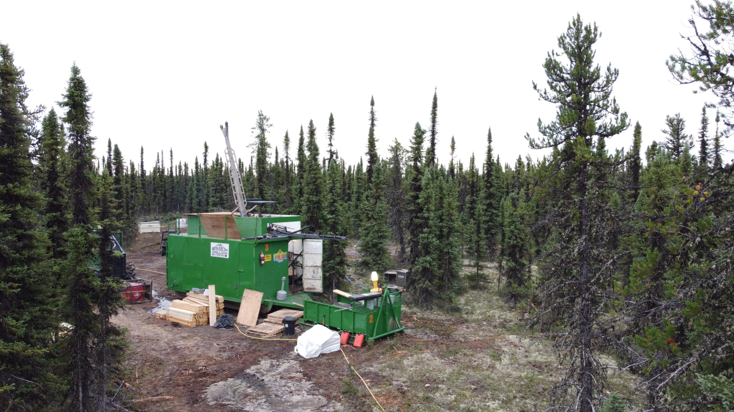
  CanAlaska’s Patterson West property, totaling 3,015 ha, is located in the Patterson Lake area of the Athabasca Basin. The project straddles the southwestern edge of the present-day Athabasca Basin in Saskatchewan Canada. The Patterson West project is located 10 – 15 km west of the Triple R and Arrow uranium deposits. A VTEMmax airborne Patterson West Project

Watson

  CanAlaska’s Watson property, totaling 10,085 ha, is located 55 km from the northeastern margin of the present-day Athabasca Basin, Saskatchewan, Canada. The Watson project is part of CanAlaska’s NE Wollaston land package, where the main target is basement-hosted uranium deposits similar to Eagle Point or Arrow. The project is located on a portion of a Watson

Warren

  CanAlaska’s Warren property, totaling 4,901 ha, is located 75 km from the northeastern margin of the present-day Athabasca Basin, Saskatchewan, Canada.  The Warren project is part of CanAlaska’s NE Wollaston land package, where the main target is basement-hosted uranium deposits similar to Eagle Point or Arrow. The project is located Northeast of the Watson Warren

Kingston

  CanAlaska’s Kingston property, totaling 12,769 ha, is located 90 km from the northeastern margin of the present-day Athabasca Basin, Saskatchewan, Canada. The Kingston project is part of CanAlaska’s NE Wollaston land package, where the main target is basement-hosted uranium deposits similar to Eagle Point or Arrow. The property is host to the extension of Kingston

Burrill

  CanAlaska’s Burrill property, totaling 5,601 ha, is located 60 km from the northeastern margin of the present-day Athabasca Basin, Saskatchewan, Canada. The Burrill project is part of CanAlaska’s NE Wollaston land package, where the main target is basement-hosted uranium deposits similar to Eagle Point or Arrow. The property is located Southeast of the Kingston Burrill

Waterbury East

  CanAlaska’s Waterbury East property, totaling 1,337 ha is located in the northeastern Athabasca Basin, Saskatchewan, Canada. The project has approximately 200 m of Athabasca sandstone cover overlying the basement rocks of the Wollaston Domain. The claim has been subject to historical regional and project scale ground and airborne geophysical surveys that highlight at 7 Waterbury East

Waterbury South

Near interpreted regional Rabbit Lake – Collins Bay fault system Located within 10 km of Cigar Lake mine site Polymetallic unconformity uranium mineralization associated with nickel, cobalt, and arsenic Objective: Large polymetallic unconformity-hosted uranium deposit Planned 2022 exploration programs Location and Ownership This project is located in the Northeastern Athabasca Basin in Saskatchewan and lies Waterbury South

Key Extension

Key Lake deposits and showings 15 km from project boundary Property Option Agreement signed allowing CanAlaska to earn 100% interest Minimal drill testing despite prolonged regional exploration Key Lake structure and stratigraphy interpreted to trend onto project Objective: Basement-hosted uranium deposit discovery Planned 2022 exploration programs Location and Ownership This project is located in the Key Extension

West McArthur

Overview Close to the world’s richest Uranium Mine, Cameco’s McArthur River Adjacent to Fox Lake Deposit, discovered by Cameco in 2013 Over $25 million of work successfully identified 7 Target Areas “Pike Zone” – Basement-hosted high-grade uranium discovery made in Summer of 2022 is the main focus of the Company’s recent efforts on the projects West McArthur

Cree East

Overview Located 35 kms from the Key Lake Mine Over 56,000 hectares land package Objective: a large unconformity uranium deposit Extensive uranium bearing systems, 9 target areas being tested. Over $19M invested by prior Korean partnership. 100% owned by CanAlaska Location and Ownership The Cree East project is a high-priority property located in the south-eastern Cree East

Newsletter

Receive the latest news from CanAlaska Uranium.